Tag: Cardinia Shire drone photography
-
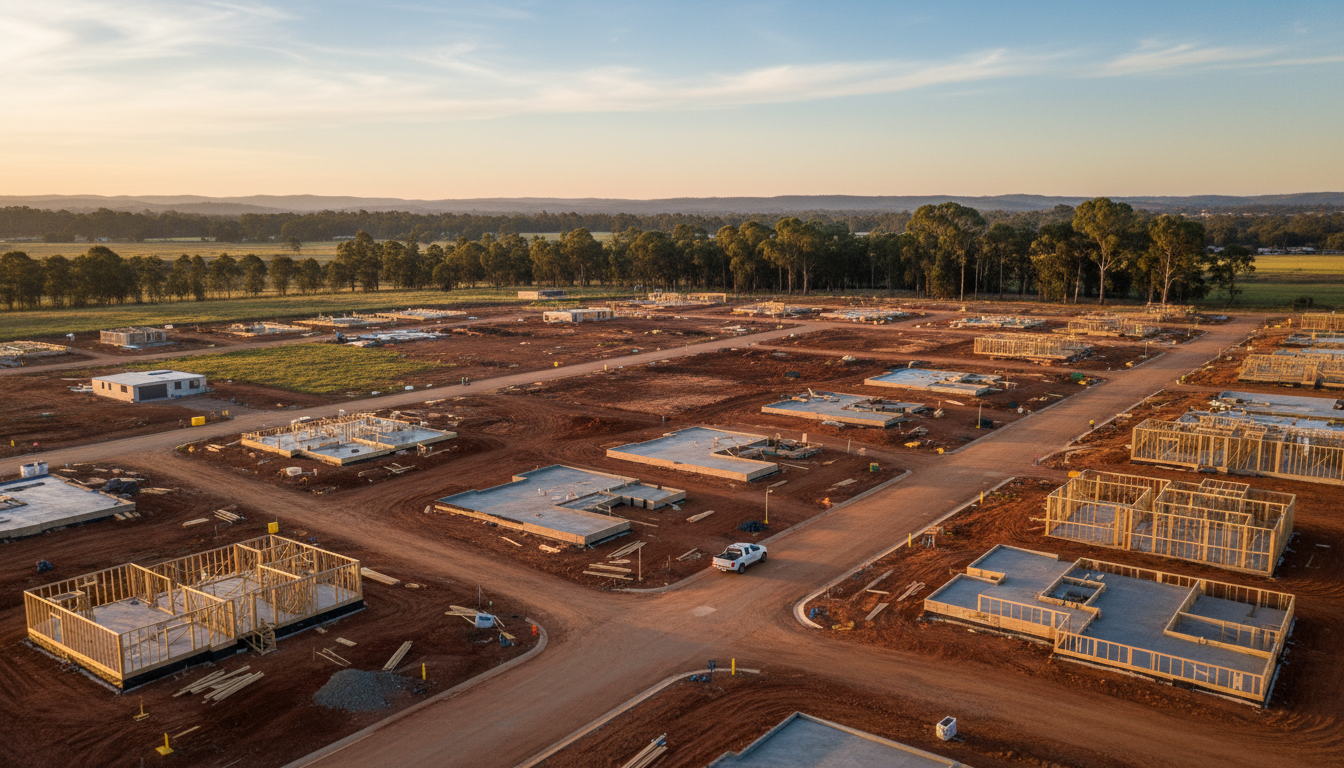
Officer construction site aerial surveys for developers
Officer construction site aerial surveys by SkyShots provide precise progress data. Monitor your Officer development with high-res drone mapping and imagery.
-
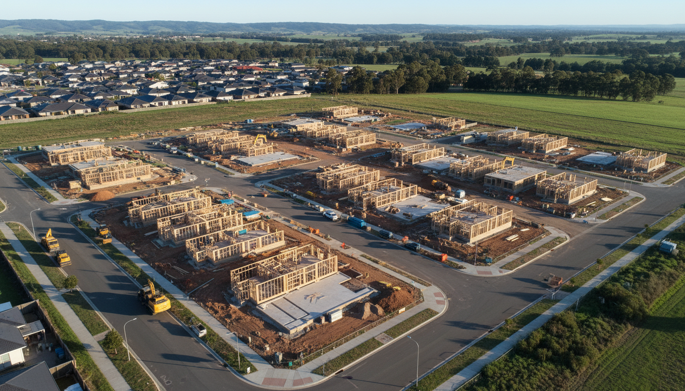
Officer construction progress drone photography services
SkyShots offers professional Officer construction progress drone photography to track site growth accurately. Enhance your project management with aerial data.
-
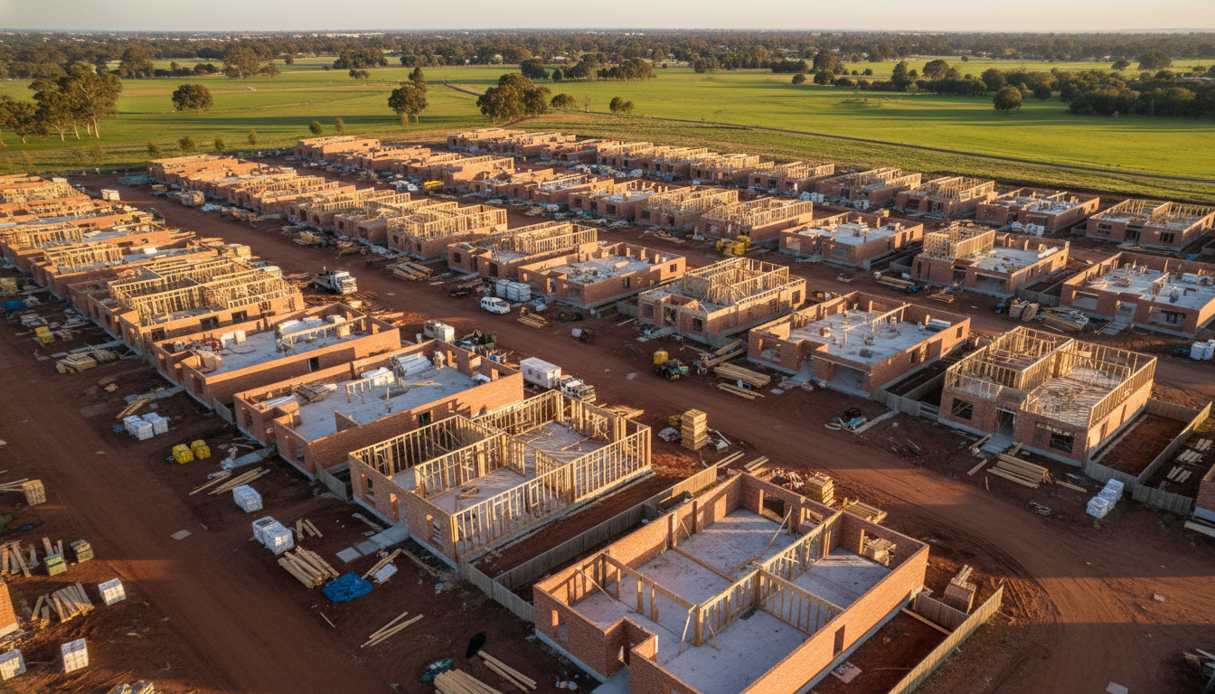
Officer construction drone tracking solutions for projects
Optimise your project with Officer construction drone tracking solutions. SkyShots provides high-resolution aerial updates for sites across Victoria’s southeast.