Tag: Cheltenham Infrastructure Drone Monitoring: SRL East Insights
-
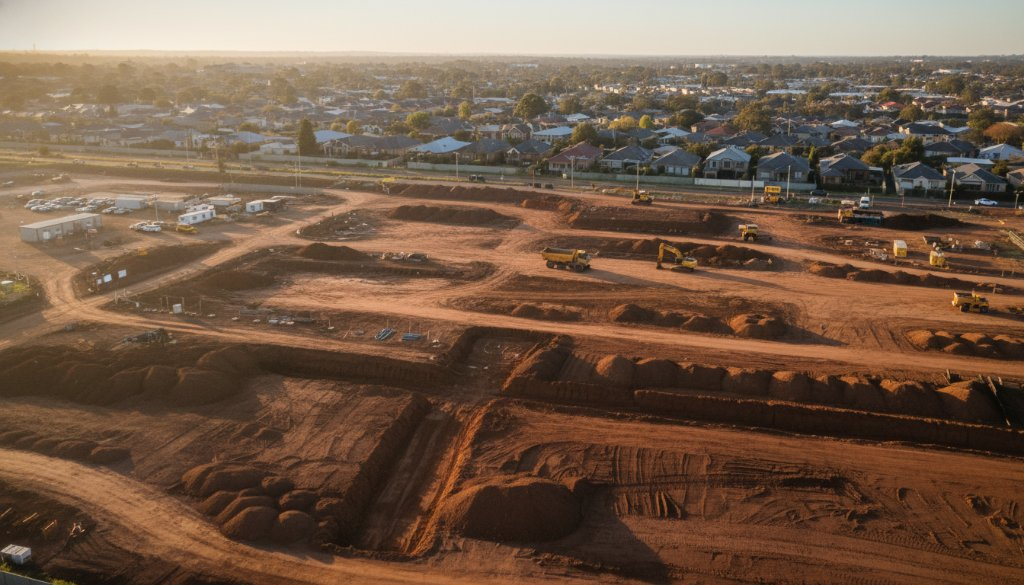
Cheltenham Infrastructure Drone Monitoring: SRL East Insights – Sky-High Progress
Discover how SkyShots provides Cheltenham Infrastructure Drone Monitoring: SRL East Insights. Precision aerial data for critical infrastructure, from topographic mapping to 3D BIM integration.