Tag: aerial mapping Sunshine
-
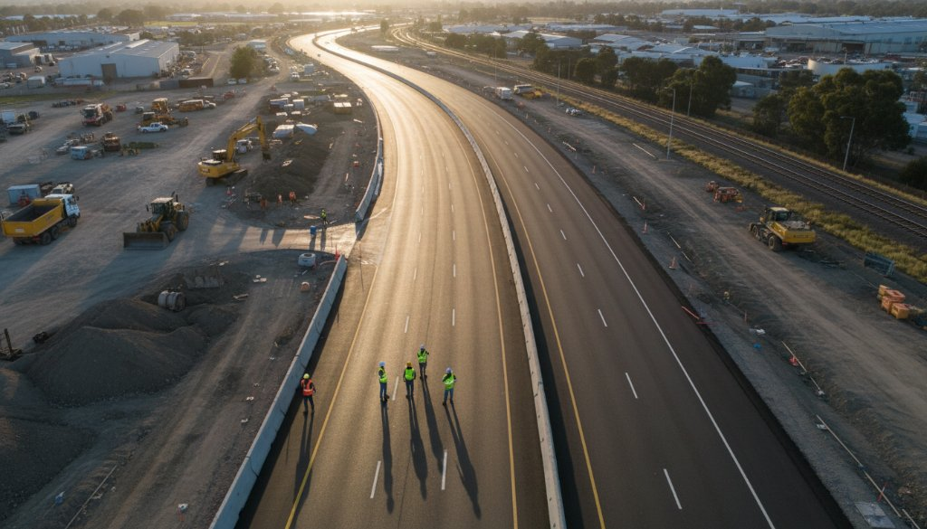
Sunshine Vic heavy civil drone surveys: Precision aerials
Discover how Sunshine Vic heavy civil drone surveys provide unparalleled precision for infrastructure projects. SkyShots offers expert aerial photography and mapping services in Melbourne’s west.