Tag: Aerial Photography Cheltenham
-
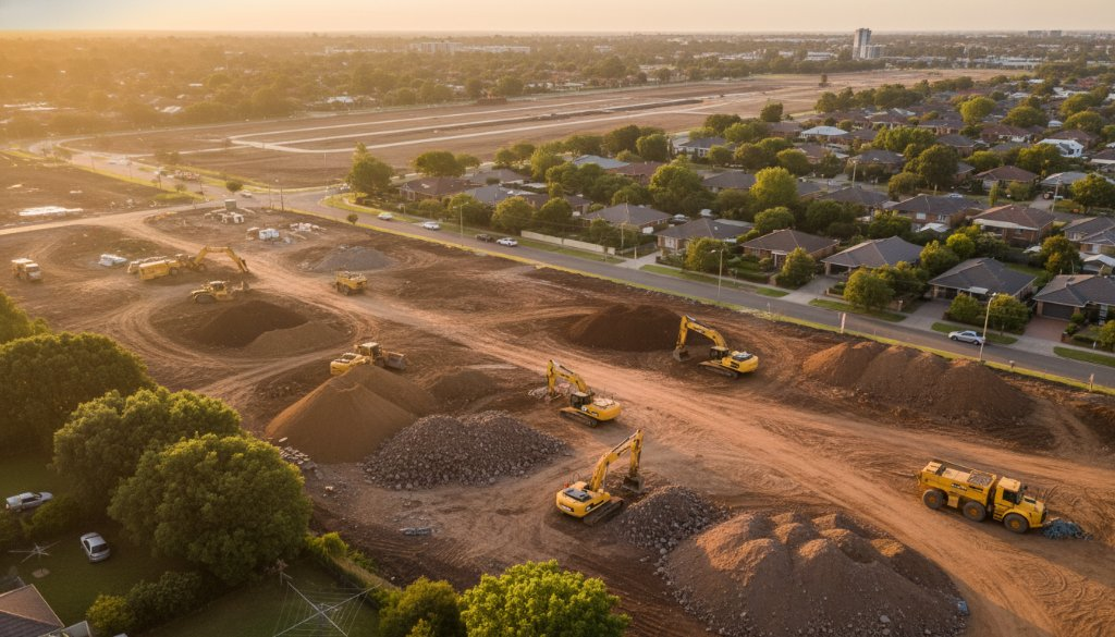
Cheltenham Property Development Aerial Mapping for SRL East Volumetric Analysis
Unlock crucial insights for your Cheltenham project. Our Cheltenham Property Development Aerial Mapping for SRL East Volumetric Analysis provides precise data for topographic mapping, earthworks, and 3D BIM integration.
-
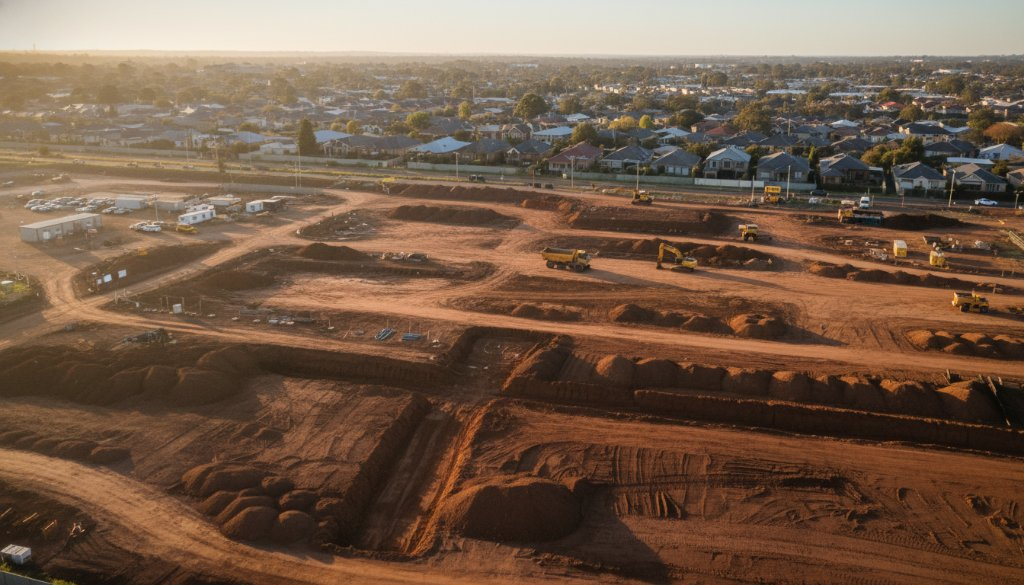
Cheltenham Infrastructure Drone Monitoring: SRL East Insights – Sky-High Progress
Discover how SkyShots provides Cheltenham Infrastructure Drone Monitoring: SRL East Insights. Precision aerial data for critical infrastructure, from topographic mapping to 3D BIM integration.