Tag: Drone Mapping Australia
-
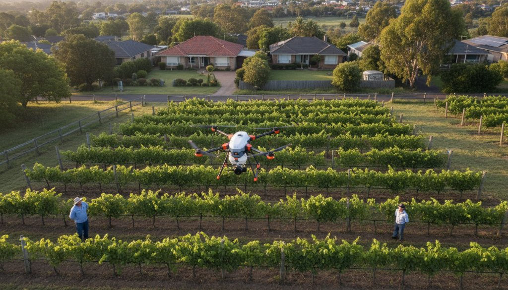
Doncaster VIC drone surveys for precision agriculture: Boost Yields!
Discover how Doncaster VIC drone surveys for precision agriculture revolutionise farming. SkyShots offers advanced aerial insights to boost your yields and efficiency across local properties.
-
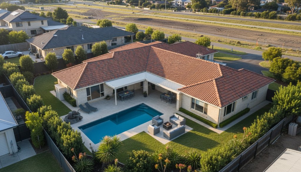
Cheltenham Drone Photography for Infrastructure-Ready Real Estate: See Growth
Unlock prime property potential with Cheltenham Drone Photography for Infrastructure-Ready Real Estate. See how aerial views reveal growth opportunities and project impact.