Tag: SRL East project
-
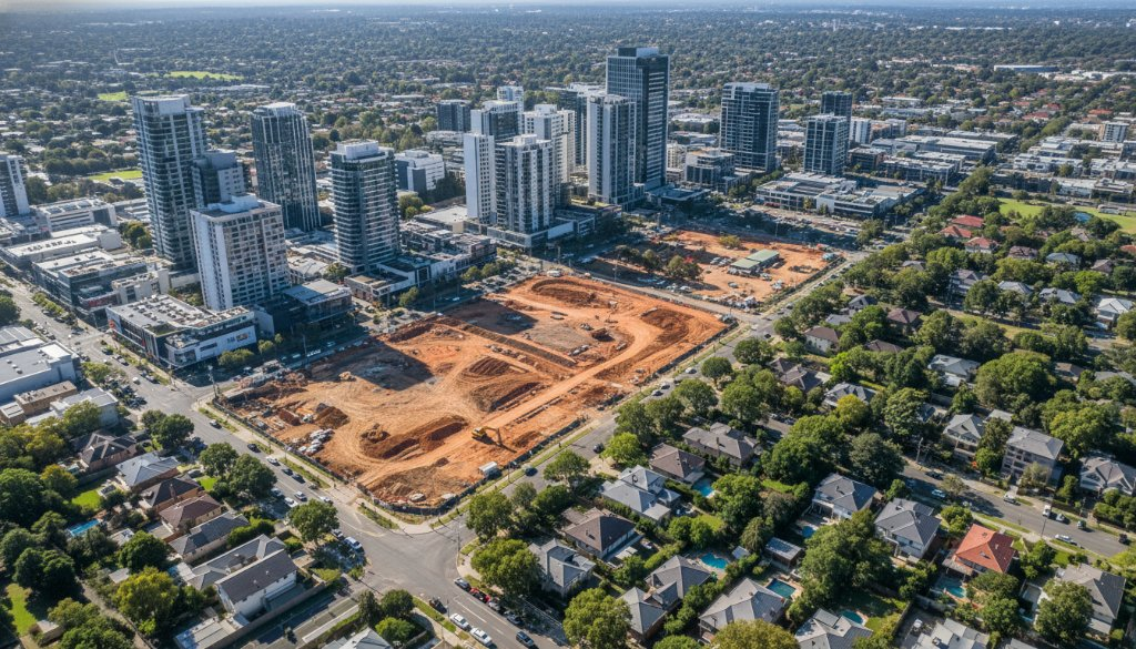
Box Hill Property Aerial Insights SRL East Corridor Photogrammetry
Unlock Box Hill property potential with SkyShots’ expert aerial insights. Get precise Box Hill Property Aerial Insights SRL East Corridor Photogrammetry for development & infrastructure planning.
-

Cheltenham Drone Inspections for SRL East Monitoring: Future Proof
Elevate project success with Cheltenham Drone Inspections for SRL East Monitoring. SkyShots offers precision aerial data, 3D BIM, and volumetric analysis for mega-projects. Learn more!