Tag: Aerial site tracking Officer
-
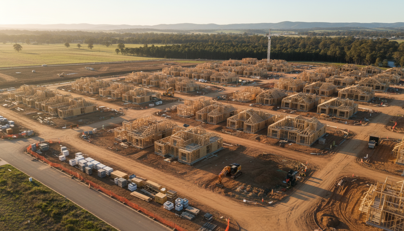
Officer construction drone progress monitoring for sites
Enhance projects with Officer construction drone progress monitoring. SkyShots provides high-res aerial tracking for developers in Victoria’s growth corridor.
-
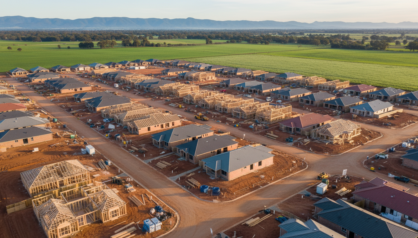
Officer drone construction progress photography for sites
Use Officer drone construction progress photography to monitor site development accurately. SkyShots provides high-resolution aerial data across Officer VIC.