Tag: SRL East Infrastructure
-
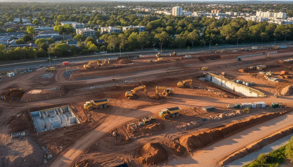
Box Hill environmental aerial photogrammetry for SRL East corridor: Precision insights
Box Hill environmental aerial photogrammetry for SRL East corridor offers critical precision for infrastructure projects. SkyShots provides topographic mapping, earthworks monitoring, and 3D BIM integration in Box Hill.
-
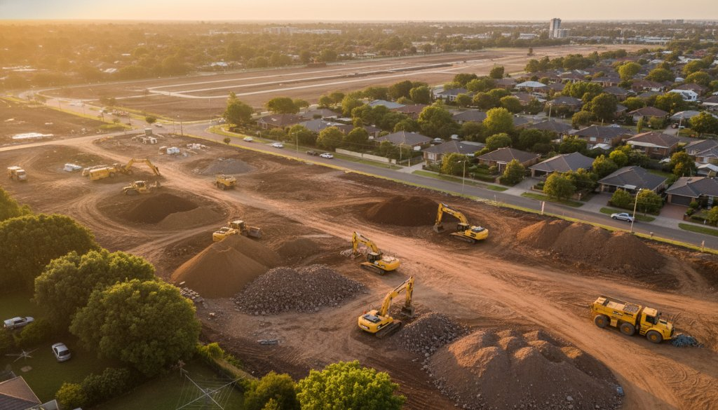
Cheltenham Property Development Aerial Mapping for SRL East Volumetric Analysis
Unlock crucial insights for your Cheltenham project. Our Cheltenham Property Development Aerial Mapping for SRL East Volumetric Analysis provides precise data for topographic mapping, earthworks, and 3D BIM integration.
-
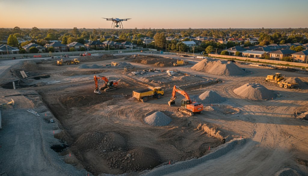
Cheltenham SRL East Aerial Earthworks Monitoring: Precision Unveiled
Boost project accuracy with Cheltenham SRL East Aerial Earthworks Monitoring. Precision topographic mapping and 3D BIM for infrastructure. Learn more!