Tag: topographic mapping
-
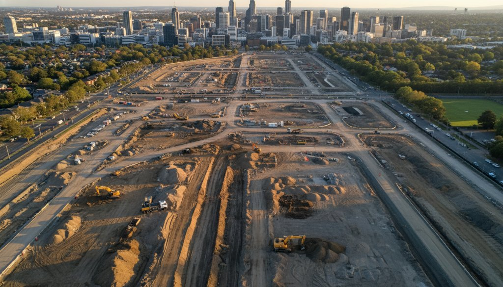
Box Hill Aerial Insights: Monitoring SRL East Infrastructure Progress
Discover how SkyShots provides Box Hill Aerial Insights: Monitoring SRL East Infrastructure Progress. Precision drone services for topographic mapping, earthworks, and 3D BIM integration in Box Hill.
-
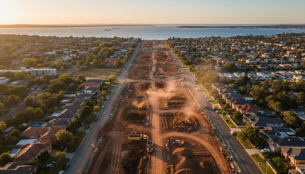
Cheltenham Drone Video for Infrastructure Project Monitoring: SkyShots’ Expertise
Boost your Cheltenham infrastructure projects with SkyShots’ expert Cheltenham Drone Video for Infrastructure Project Monitoring. We provide topographic mapping & 3D BIM integration.
-

Cheltenham agricultural drone surveys precision mapping for SRL East: Farm Insights
Discover how Cheltenham agricultural drone surveys precision mapping for SRL East is revolutionising local farming. Get precise topographic data & earthworks insights.
-
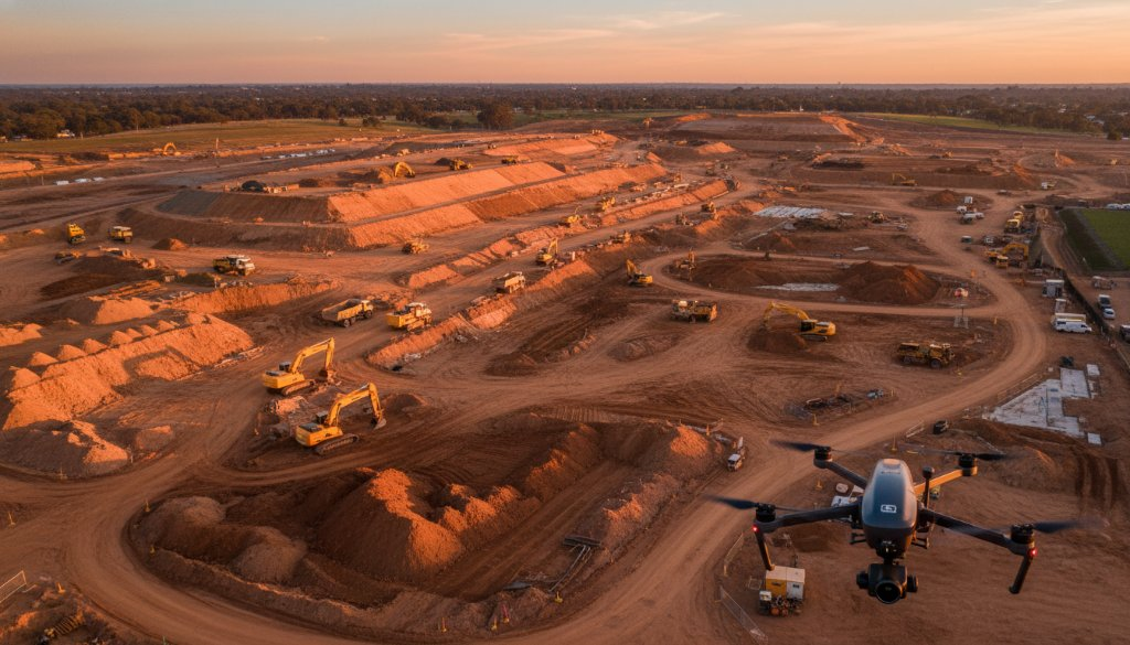
Precision Aerial Surveying Cheltenham Infrastructure Megaprojects: SkyShots Delivers
Unlock unparalleled efficiency for your projects with Precision Aerial Surveying Cheltenham Infrastructure Megaprojects. SkyShots offers advanced drone solutions for precise data.
-
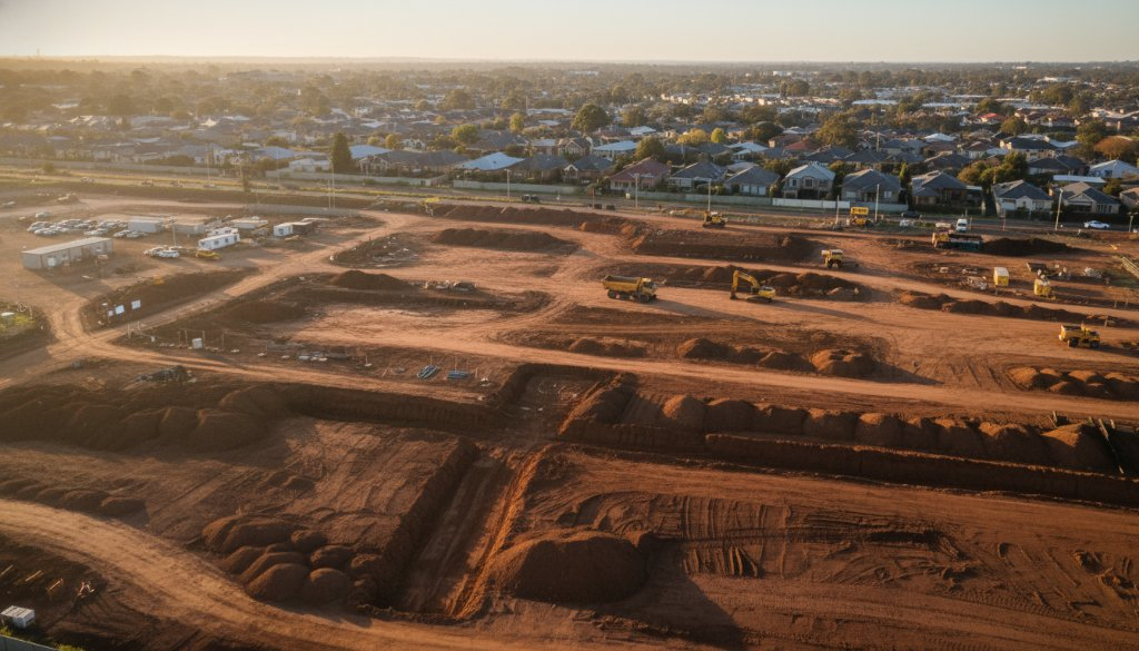
Cheltenham Infrastructure Drone Monitoring: SRL East Insights – Sky-High Progress
Discover how SkyShots provides Cheltenham Infrastructure Drone Monitoring: SRL East Insights. Precision aerial data for critical infrastructure, from topographic mapping to 3D BIM integration.