Tag: Volumetric Analysis
-

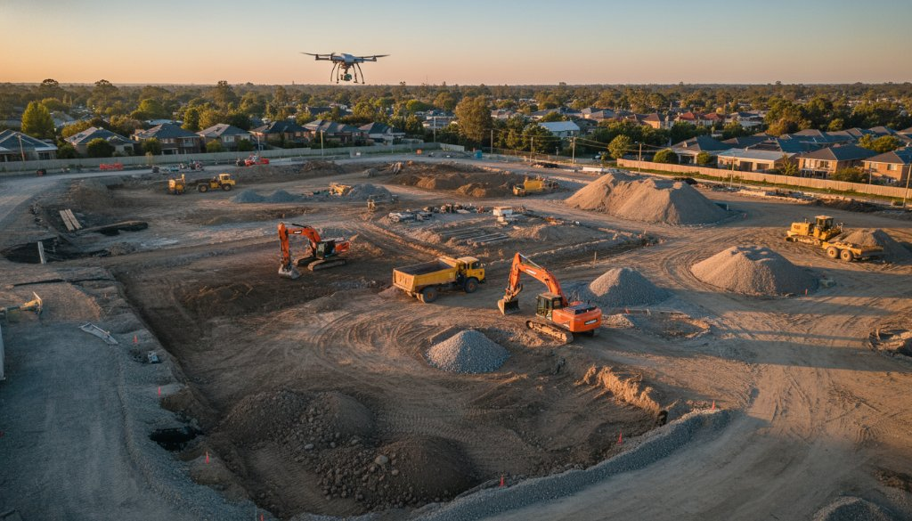
Cheltenham agricultural drone surveys precision mapping for SRL East: Farm Insights
Discover how Cheltenham agricultural drone surveys precision mapping for SRL East is revolutionising local farming. Get precise topographic data & earthworks insights.
-
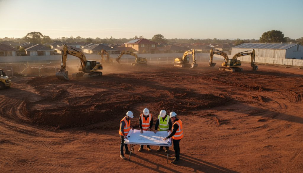
Cheltenham Drone Construction Site Monitoring Experts: Elevating Project Oversight
Cheltenham Drone Construction Site Monitoring Experts at SkyShots deliver precision data for your projects. Optimise progress, ensure safety, and gain insights with our advanced aerial solutions.
-
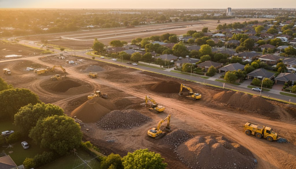
Cheltenham Property Development Aerial Mapping for SRL East Volumetric Analysis
Unlock crucial insights for your Cheltenham project. Our Cheltenham Property Development Aerial Mapping for SRL East Volumetric Analysis provides precise data for topographic mapping, earthworks, and 3D BIM integration.
-
Cheltenham SRL East Aerial Earthworks Monitoring: Precision Unveiled
Boost project accuracy with Cheltenham SRL East Aerial Earthworks Monitoring. Precision topographic mapping and 3D BIM for infrastructure. Learn more!