Tag: infrastructure monitoring
-
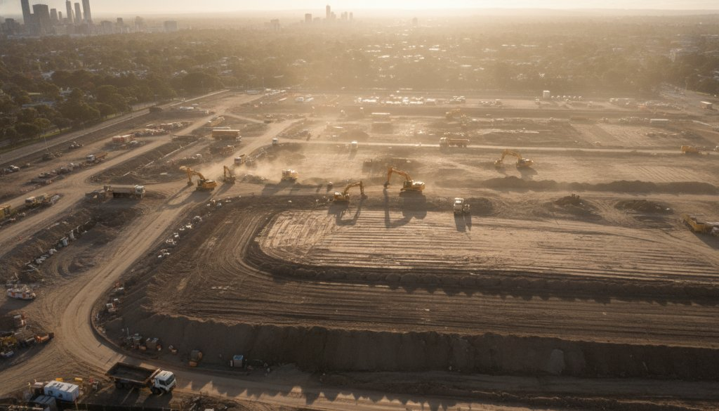
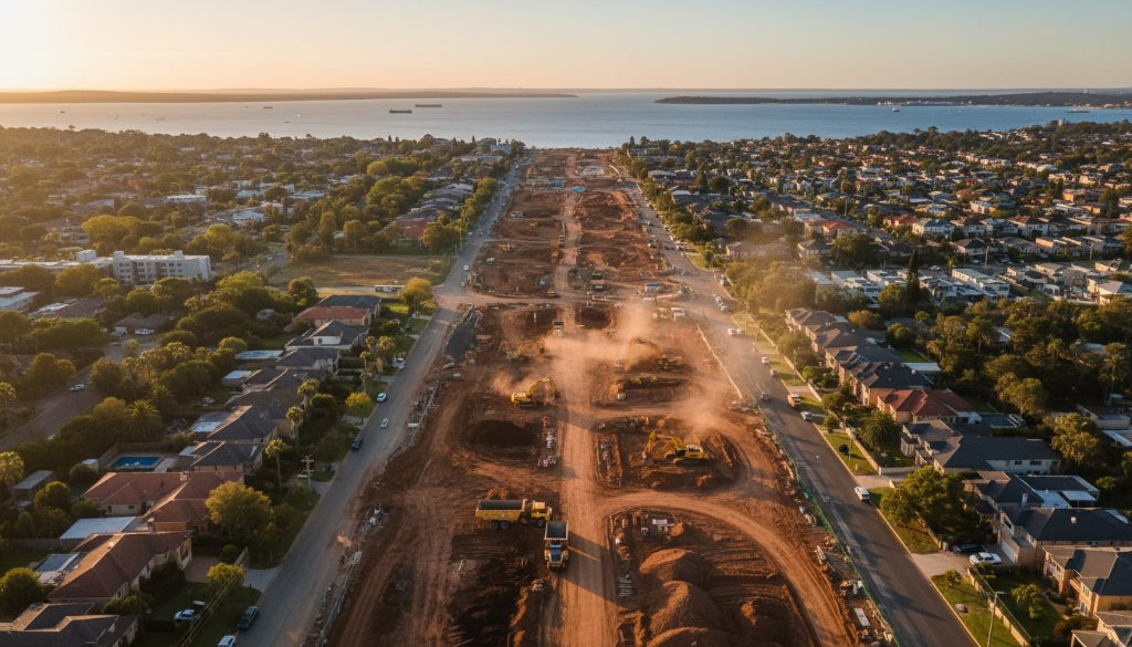
Box Hill Aerial Portraits Capturing Infrastructure Progress: SkyShots View
Explore Box Hill Aerial Portraits Capturing Infrastructure Progress. SkyShots captures the suburb’s dynamic transformation, offering expert drone photography for detailed site analysis and visual records.
-

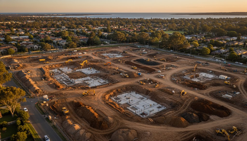
Box Hill Property Aerial Insights SRL East Corridor Photogrammetry
Unlock Box Hill property potential with SkyShots’ expert aerial insights. Get precise Box Hill Property Aerial Insights SRL East Corridor Photogrammetry for development & infrastructure planning.
-
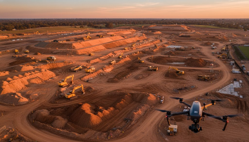
Cheltenham aerial photogrammetry for infrastructure development: building tomorrow
Elevate your Cheltenham infrastructure projects with expert aerial photogrammetry for infrastructure development. SkyShots offers precision topographic mapping, volumetric analysis, and 3D BIM integration.
-
Cheltenham Drone Video for Infrastructure Project Monitoring: SkyShots’ Expertise
Boost your Cheltenham infrastructure projects with SkyShots’ expert Cheltenham Drone Video for Infrastructure Project Monitoring. We provide topographic mapping & 3D BIM integration.
-
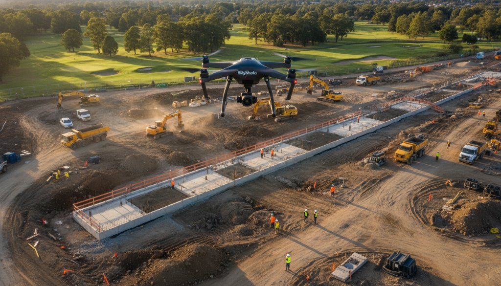
Cheltenham Drone Inspections for SRL East Monitoring: Future Proof
Elevate project success with Cheltenham Drone Inspections for SRL East Monitoring. SkyShots offers precision aerial data, 3D BIM, and volumetric analysis for mega-projects. Learn more!
-

Cheltenham Sports Event Aerial Photography Infrastructure Insights
Capture thrilling sports moments in Cheltenham with aerial photography. Gain infrastructure insights for major projects like SRL East. Discover SkyShots’ expertise!
-
Precision Aerial Surveying Cheltenham Infrastructure Megaprojects: SkyShots Delivers
Unlock unparalleled efficiency for your projects with Precision Aerial Surveying Cheltenham Infrastructure Megaprojects. SkyShots offers advanced drone solutions for precise data.